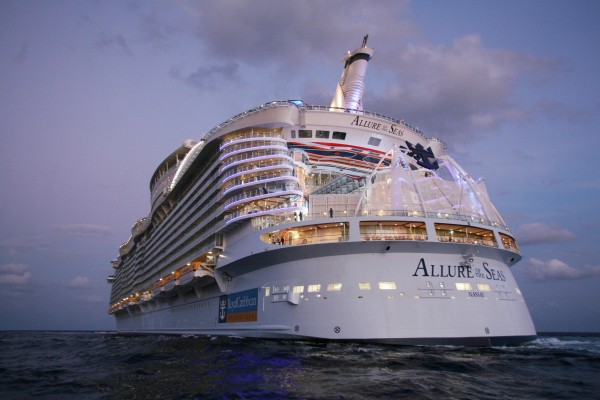
Google Street View Maps Its First Cruise Ship
Royal Caribbean today became the first cruise line to launch a tour of its largest cruise ship, Allure of the Seas, using Google’s Street View technology.

Royal Caribbean is now using Google Maps Business View, the commercial arm of Google’s Street View, to take people on a virtual tour of Allure of the Seas, the company’s flagship and the largest cruise ship in the world.
For newbies to the world of cruising, photos illustrate the sheer monstrosity of cruise liners.
For regular cruisers, the new footage acts as a virtual brochure for the ship, showing off different cabin rooms and suites.
The immersive technology takes viewers through the various decks of the ship; along the Royal Promenade lined with boutiques and restaurants that runs nearly the length of the ship; and Central Park, an outdoor park that’s longer than a football pitch and home to more than 12,000 trees and plants.
More than 20,000 photos were taken over 60 hours and eight days using a basic DSLR camera, fisheye lens and tripod.
Visitors can also take a virtual spin on the Flowrider, which simulates surfing; the Zip Line, in which thrill seekers glide 9 decks over the boardwalk; and the indoor ice rink. Take a tour of the cruise ship at bit.ly/1vS3otM.


